We ship worldwide.
All shipping is charged at cost.
Ask us about combined shipping for more than one item.
| Shopify Unique ID: | 10561496908068 |
| SKU: | A5L/2505/Nmaps1 |
| Trademe Reference: | PR25 (259) |
| Category: |
Maps / Charts / Atlas |
| New / Used: | Used |
Description
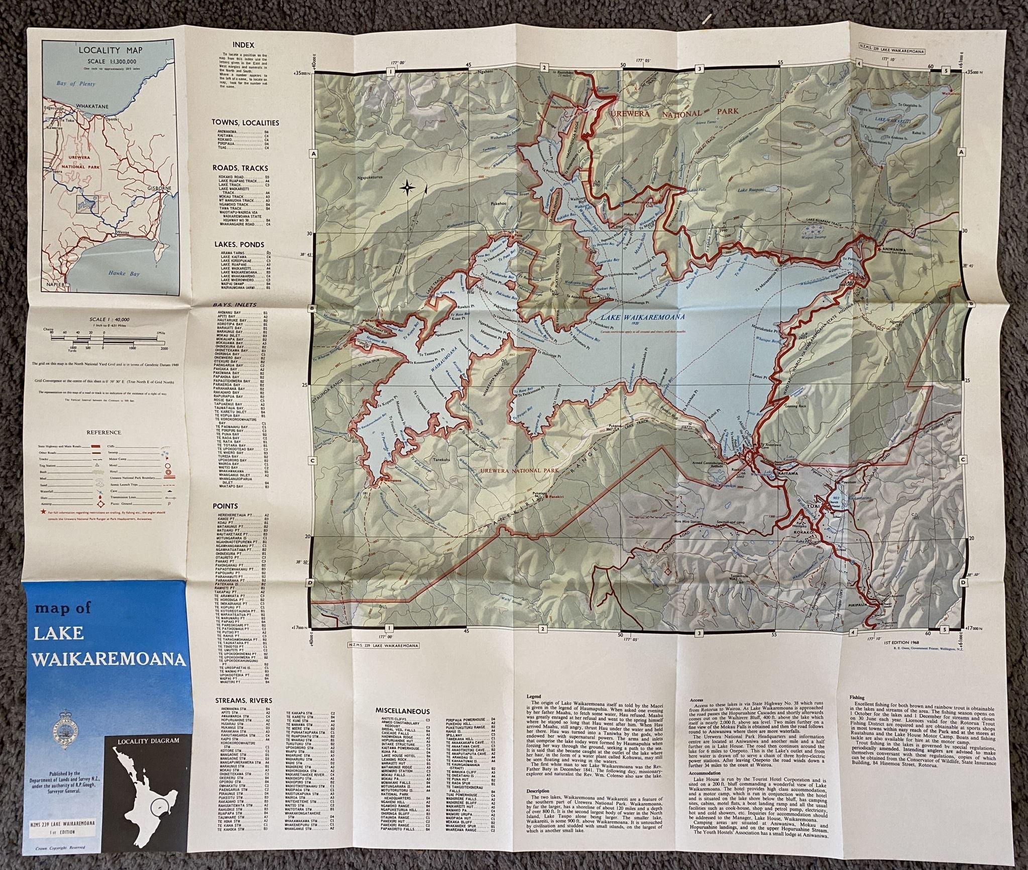
VINTAGE MAP: NZMS 239 Lake Waikaremoana
DESCRIPTION
Format: small fold out map
Published: Dept of Lands and Survey 1968, 1st edition
Size (mm): 720 w x 605 h
SKU: A5L/2505/Nmaps1
ABOUT
Vintage map of the Lake Waikaremoana region in the North Island.
Published by the Department of Lands and Survey under the authority of R.P. Gough, Surveyor General.
Our vintage posters/maps are 100% authentic and they range across various decades. Whilst many of our items like this end up in museums, they are also popular for bringing a touch of nostalgia to the home as well as offices, meeting rooms and waiting rooms of the locations / services / industries that they are related.
CONDITION
Near new with light marks on fold lines.
REMARKS
See our other maps listed.
LEADING VINTAGE BOOKSHOP SINCE 1989
Books - Newspapers - Magazines - Posters - Maps - Ephemera
ENQUIRES
- All enquires and questions welcome
SHIPPING
- All shipping is via tracked courier
- We do not risk letter post
- Incorrect shipping option will cause delay
- Ensure your delivery address is secure
- PO Box address for New Zealand only
- International must be a street address
- Shipping charges are driven by weight, not volume.
- Combined shipping must be setup prior on request, no manual refunds post sale.
BUY WITH CONFIDENCE
- Only quality products, listings, images
- Our feedback speaks for itself
- Only eco-packaging, no plastic
- Bank deposit on request
- Prompt shipping across New Zealand
- We also ship to customers across 42 countries
BOOK DESCRIPTIONS
- Book description definitions explained via the About/Condition & Descriptions page.
Listing format © 1989-2026 Unicorn Books Ltd